Where Technology Meets Creative Vision
Let's build amazing solutions together!
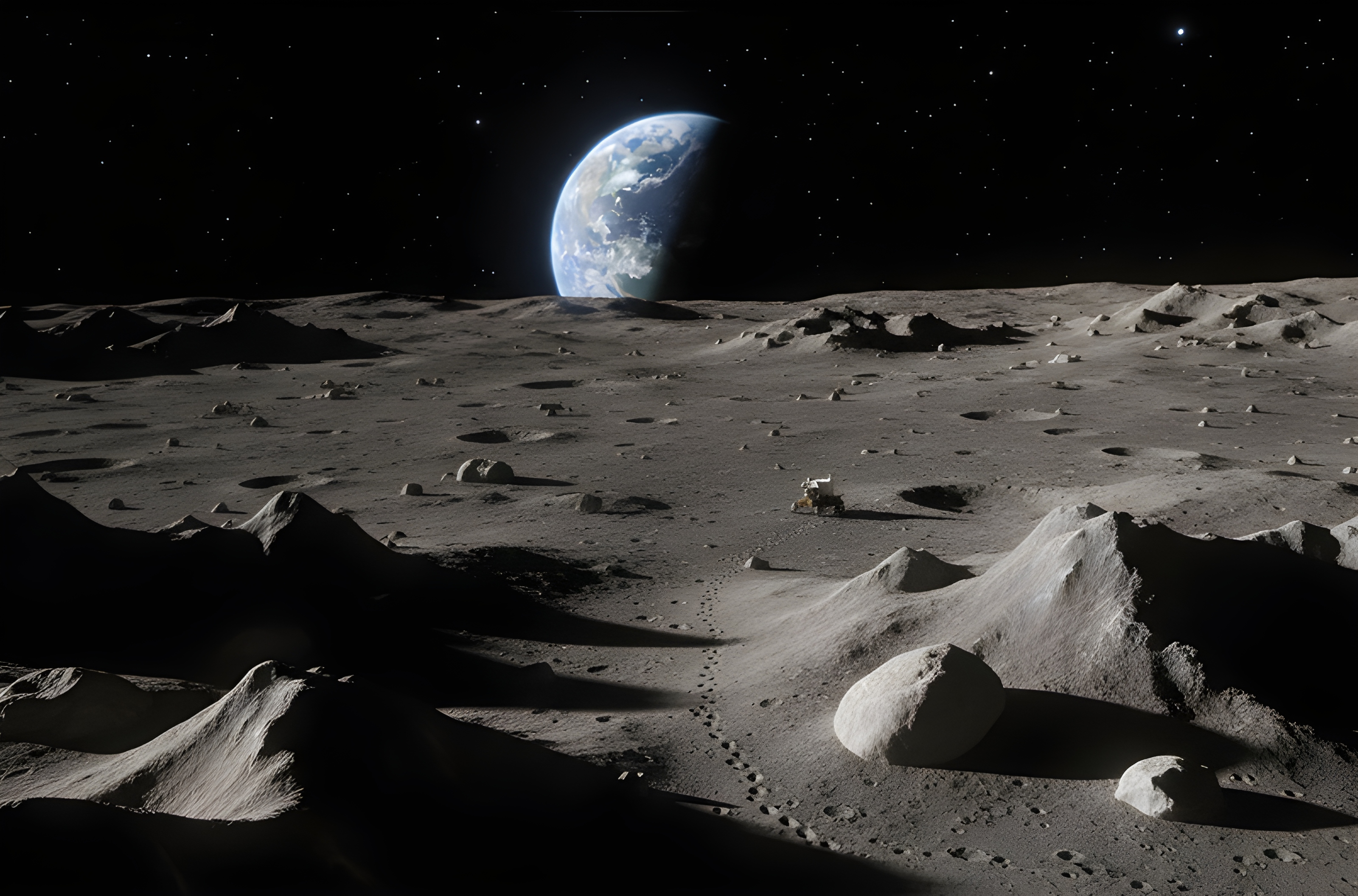
Eidetic Solutions is dedicated to transforming theoretical concepts into high-fidelity digital solutions. We do not just write code; we engineer systems that make sense of the world around us, from the micro precision of eye-tracking data to the vast scale of planetary terrain.
Our mission is to empower organisations to navigate complex R&D landscapes. We bridge the gap between scientific research and real-world use cases, delivering functional proofs of concept and scalable software that validate innovative ideas rapidly and effectively.
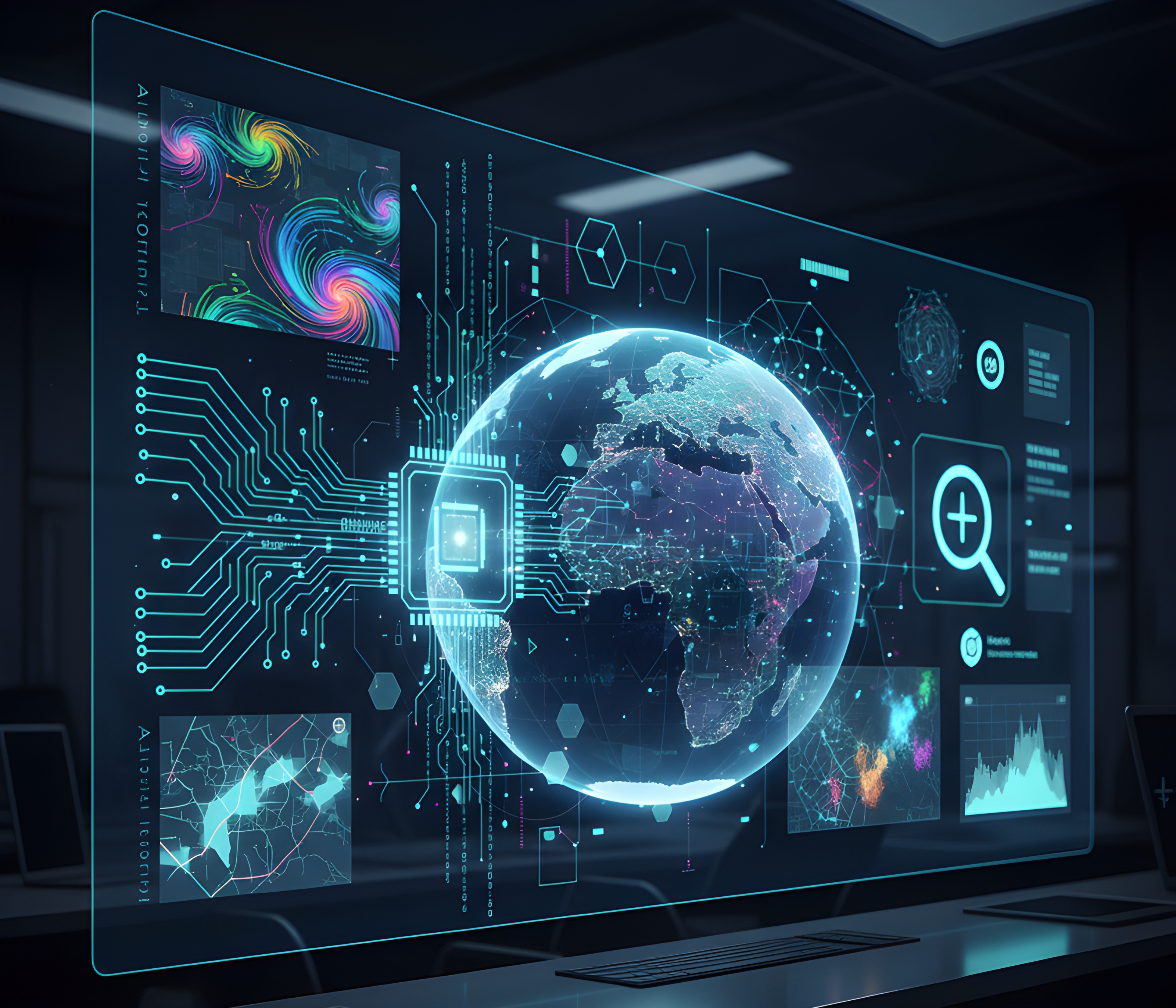
With a strong foundation in Visual Computing and Geospatial Intelligence, we specialise in processing diverse datasets to create immersive and analytical experiences. Whether engineering real-time rendering pipelines using Vulkan and DirectX or unlocking insights from semantic GIS data, we bring a rigorous engineering mindset to every challenge.
We are experienced in international collaboration, contributing technical leadership to EU-funded consortia and cross-domain engineering initiatives. By integrating computer vision, physics-based simulation, and machine learning, we deliver solutions that are not only visually compelling but scientifically accurate and adaptable across borders.
Transforming theoretical concepts into functional proofs-of-concept. Delivering high-fidelity prototypes to validate innovative research ideas rapidly and effectively.

Navigating complex R&D landscapes with expertise in EU-funded initiatives. Offering technical leadership and system integration across diverse engineering domains.
Building perception-driven and visually rigorous systems, combining computer vision, graphics and simulation for research, analysis and immersive environments.

Unlocking insights from complex environmental datasets. Expert processing of semantic GIS and nature data to support scientific discovery and decision-making.